Leveraging Drone Technology for Smarter Traffic Cone Management
Managing traffic plastic cones manually presents several challenges. Workers face physical strain from lifting and placing plastic cones, while road closures lead to traffic delays and environmental concerns. The table below highlights these inefficiencies and risks:
Category | Description |
---|---|
Physical Strain | Manual handling of cones leads to back pain, muscle fatigue, and long-term injuries. |
Traffic Delays | Manual placement of cones is time-consuming, causing unnecessary traffic congestion. |
Increased Costs | Requires a team and equipment, raising labor costs and diverting resources from other tasks. |
Environmental Concerns | Longer road closures increase fuel consumption and contribute to air pollution. |
Accident Risks | Workers on the road face higher chances of accidents with passing vehicles. |
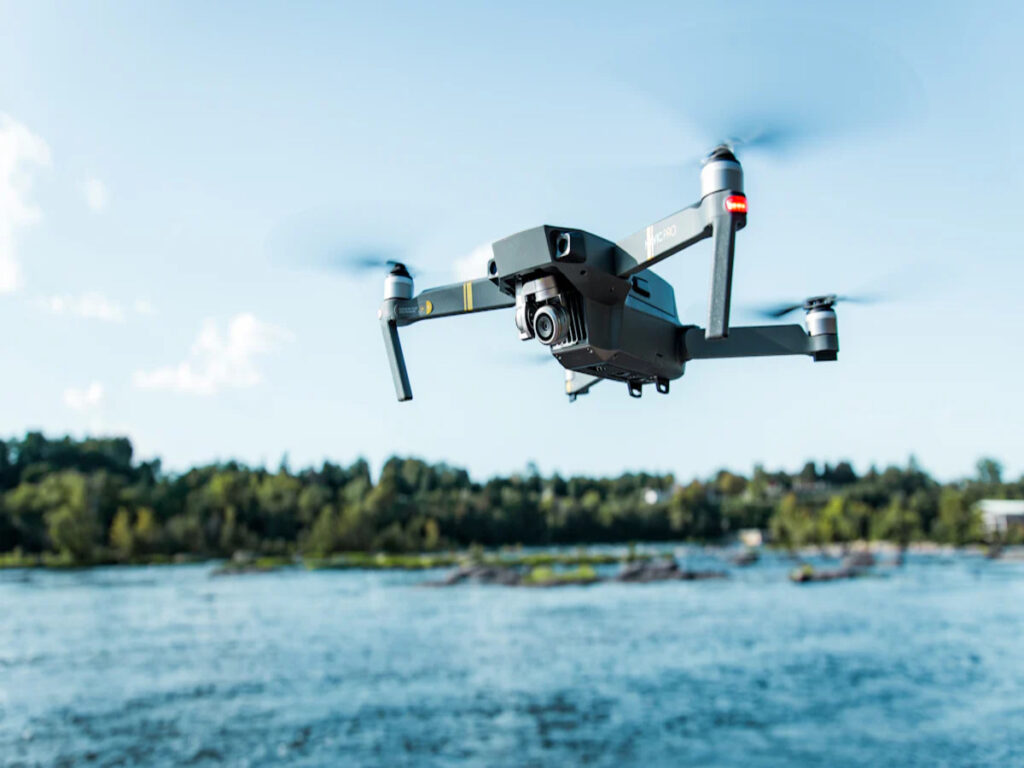
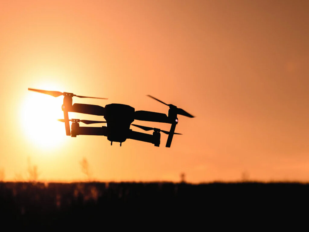
Drone technology offers a smarter alternative. Drones can deploy and monitor plastic cones efficiently, reducing risks and improving traffic flow. By replacing manual processes, drones enhance safety and save time, creating a more sustainable approach to traffic management.
Benefits of Drones in Traffic Cone Management
Real-Time Monitoring and Surveillance
Drones provide a bird’s-eye view of traffic conditions, allowing you to monitor congestion and assess patterns effectively. This real-time surveillance enhances traffic management by enabling immediate detection of incidents. For example, drones in Los Angeles deliver live updates on major highways, while in Tokyo, they manage congestion and respond to incidents as they occur. These capabilities improve safety by reducing response times and ensuring better coordination of emergency services.
Using drones for monitoring also reduces costs. They eliminate the need for extensive ground-based equipment and personnel. Additionally, drones collect comprehensive data, offering insights into traffic flow and road conditions. This data helps you make informed decisions to optimize traffic management systems.
Aerial Mapping for Traffic Management Plans
Drones excel in creating detailed aerial maps, which are essential for effective traffic management. These maps provide a top-down view of road networks, helping you understand traffic patterns and plan accordingly. In the UK, drones monitor highways and assess the impact of roadworks, while in Australia, they evaluate road conditions after natural disasters.
Drones also play a crucial role during emergencies. The Tippecanoe County Sheriff’s Office in Indiana used drones to map crash scenes, reducing traffic downtime by 60%. This rapid mapping capability ensures smoother traffic flow and minimizes disruptions. By leveraging aerial mapping, you can adjust traffic signals, manage lane closures, and improve overall traffic efficiency.
Data Collection for Smarter Decision-Making
Drones gather a wide range of data to support smarter traffic management. They capture high-resolution images and videos, providing detailed insights into traffic conditions. This data includes traffic density, road capacity, and vehicle movements at intersections. You can also use drones to assess road markings and traffic signs, ensuring compliance with safety standards.
Comprehensive traffic studies become more efficient with drones. They analyze traffic flow and detect incidents in real time, offering actionable insights. This information helps you develop predictive models for future traffic planning. By integrating drone-collected data into your traffic management strategies, you can enhance safety, reduce congestion, and improve decision-making processes.
Practical Applications of Drones in Traffic Cone Deployment
Optimizing Placement of Plastic Cones
Drones simplify the process of placing plastic cones by providing precise aerial views of roadways. You can use drones to identify the best locations for cone placement, ensuring optimal traffic control. This approach reduces the chances of human error and improves efficiency. For example, during large-scale construction projects, drones can quickly map out areas requiring, saving time and resources. Construction workers no longer need to manually assess the site, which minimizes delays and enhances overall productivity.
Drones also excel in emergency scenarios. When accidents or road closures occur, drones can rapidly deploy plastic cones to redirect vehicles. This quick response helps maintain traffic flow and prevents congestion. By using drones for cone placement, you can ensure smoother operations and better traffic management.
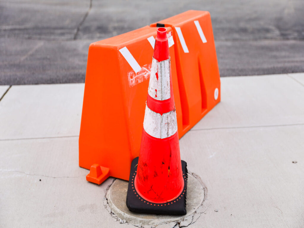
When safety is your priority, OPTsigns traffic cones stand out as the ultimate choice. Durable, highly visible, and easy to deploy, they’re designed to keep drivers and pedestrians safe in any environment.
Monitoring Traffic Flow and Adjusting in Real-Time
Drones equipped with high-resolution cameras and sensors provide detailed aerial monitoring of traffic conditions. They offer a comprehensive view of traffic flow, allowing you to identify congestion points and vehicle movements. With real-time data, you can dynamically adjust cone placement to improve traffic efficiency.
- Drones enable traffic management systems to modify signals and lane closures based on live updates.
- They help reduce bottlenecks by identifying areas where plastic safety cones need repositioning.
- Their ability to monitor traffic flow ensures smoother operations during peak hours or emergencies.
This real-time adjustment capability makes drones an invaluable tool for maintaining order on busy roads.
Enhancing Worker Safety in Hazardous Areas
Drones play a crucial role in improving worker safety. By handling tasks like traffic cone placement and monitoring, drones reduce the need for construction workers to operate in dangerous environments. For instance, the Rail Accident Investigation Branch in Britain uses drones to investigate accidents, keeping workers safe from hazardous debris.
Technological advancements in drones have the potential to prevent construction-related injuries caused by falls, chemical spills, or heavy objects.
By deploying drones, you can protect workers from risks associated with high-traffic zones and hazardous conditions. This technology not only enhances worker safety but also ensures efficient traffic management.
Make your worksite safer with OPTsigns. Known for their bright colors and sturdy design, OPTsigns traffic cones are built to handle tough conditions while ensuring clear guidance for all road users.
Integrating Drone Data with Traffic Management Plans
Leveraging Cloud Platforms for Data Analysis
Cloud platforms play a vital role in processing drone-collected data for smart traffic management. These platforms reduce the complexity of managing large datasets while improving the speed and accuracy of analysis. By using cloud-based tools, you can access real-time traffic data from anywhere, enabling faster decision-making. For example, drones can detect hazardous road conditions and send immediate alerts to authorities through cloud systems. This capability prevents accidents and ensures safer roads.
Cloud platforms also enhance the usability of drone data by offering interactive visualization tools. These tools allow you to analyze traffic patterns and identify problem areas with ease. Additionally, integrating machine learning algorithms into cloud systems improves the quality of insights. This approach helps you optimize traffic management plans by predicting congestion points and adjusting resources accordingly. With cloud platforms, you can transform raw drone data into actionable strategies for better transportation technology.
Predictive Analytics for Future Planning
Predictive analytics, powered by drone data, enables you to anticipate traffic trends and plan effectively. By analyzing historical and real-time data, you can develop models that forecast traffic patterns. For instance, a statewide weather forecasting model combined drone data with historical records to improve accuracy. Similarly, an AI-based traffic management pilot in Las Vegas used predictive analytics to manage congestion proactively.
Drones provide rapid data collection, offering a comprehensive view of traffic conditions. This information allows you to identify potential bottlenecks and implement timely interventions. Regular drone flights also support urban planners in adapting projects to meet changing traffic demands. Predictive analytics ensures that your traffic management plans remain efficient and responsive to future challenges.
Collaboration with IoT Devices for Smarter Systems
Integrating drones with IoT devices creates a smarter and more connected transportation technology ecosystem. IoT sensors placed on roads and vehicles can communicate with drones to share real-time data. This collaboration improves traffic flow by enabling dynamic adjustments to signals and lane closures. For example, drones equipped with cameras can monitor traffic density, while IoT devices relay this information to traffic control centers.
This synergy also enhances safety in work zones. Drones can capture high-resolution images of hazardous areas, while IoT devices alert workers and drivers to potential risks. By combining these technologies, you can reduce accidents and improve overall traffic efficiency. The integration of drones and IoT devices represents a significant step forward in smart traffic management.
Challenges and Solutions in Drone-Assisted Traffic Management
Navigating Regulatory Concerns
Using drones in traffic management introduces several regulatory challenges. You must navigate complex airspace regulations, which vary by country and region. These rules often complicate the deployment of universal drone traffic management (DTM) systems. Privacy and data security also pose significant concerns. Drones capture sensitive data, requiring strict compliance with privacy laws like GDPR. This adds another layer of complexity to operations. Additionally, operators must meet certification and compliance requirements, which differ across regions and demand rigorous training.
Regulatory Concern | Description |
---|---|
Airspace Regulations | Drones must navigate complex airspace regulations that vary by country and region, complicating universal DTM systems. |
Privacy and Data Security | Drones can capture sensitive data, necessitating compliance with privacy laws like GDPR, adding complexity to operations. |
Certification and Compliance Requirements | Operators must undergo rigorous certification processes, which vary across regions, complicating DTM deployment. |
To address these challenges, you can collaborate with regulatory bodies to establish clear guidelines. Investing in advanced drone software that anonymizes data can help ensure compliance with privacy laws. Training programs for operators can also streamline certification processes, making it easier to integrate drones into the mobility ecosystem.
Addressing Cost and Accessibility
High costs and limited accessibility often hinder the adoption of drones in traffic management. しかし, drones offer significant cost-saving benefits. For example, the Tippecanoe County Sheriff’s Office used drones to map crash scenes, reducing traffic downtime by 60%. Drones also enable rapid data collection and analysis, covering larger areas than traditional methods. This efficiency makes them a valuable tool for managing traffic congestion.
- Research by Noah Goodall found that 9.2% of vehicle crashes are secondary to other crashes. Quick scene mapping with drones can prevent these incidents.
- Drones can warn first responders about traffic conditions, helping them reroute faster and manage traffic jams more effectively.
To make drones more accessible, you can explore partnerships with technology providers. Leasing programs and government subsidies can also reduce upfront costs, allowing more organizations to adopt this technology in smart cities.
Overcoming Technical Limitations
Technical limitations, such as battery life and connectivity issues, can impact drone performance. Short battery life restricts flight time, while poor connectivity can disrupt real-time data transmission. These challenges can hinder the integration of drones into the broader mobility ecosystem.
To overcome these issues, you can invest in drones equipped with advanced battery technology, extending their operational range. Leveraging 5G networks can improve connectivity, ensuring seamless communication between drones and traffic management systems. Autonomous vehicles and IoT devices can also work alongside drones to create a more robust and efficient system. For example, IoT sensors on roads can relay data to drones, enhancing their ability to monitor traffic congestion and improve safety in smart cities.
Drones have revolutionized traffic cone management by improving safety, efficiency, and decision-making. They reduce risks for workers, optimize cone placement, and provide real-time data for better traffic flow.
The transformative potential of drones lies in their ability to integrate with intelligent infrastructure. They monitor large areas, respond quickly to changing conditions, and optimize traffic signals. These capabilities make them indispensable for modern traffic systems.
Adopting drone technology empowers you to create safer, smarter roads. By leveraging their aerial perspective and data-driven insights, you can enhance traffic management and build a more efficient transportation network.